Maps of Botswana
Author: Government of Botswana and United Nations Development Programme
Scale: 1/2,000,000
Year: 1971
Call Number: G8610 .C34 1971 .B67
Language: English
Author: Botswana. Dept. of Surveys and Lands
Scale: 1/50,000
Year: 1968 +
Call Number: G8600 s50 .B68
Language: English
Author: Compiled and drawn in the Geological Survey and Mines Dept., Lobatse, 1972-73. Director: J. V. Hepworth; project co-ordinator: C. R. Jones; senior cartographer: K. Jennings
Scale: 1/1,000,000
Year: 1973
Call Number: G8601.C5 1973 .B6
Language: English
Author: Food and Agriculture Organization of the United Nations
Scale: 1/5,700,000
Year: 1975
Call Number: G8601.C88 1975 .U5
Language: English
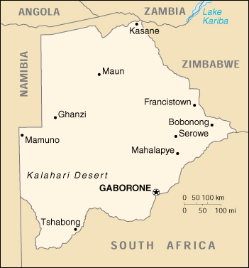
Author: United States. Central Intelligence Agency
Scale: 1/6,500,000
Year: 1995
Call Number: G8600 1995 .U5
Language: English
For more information on Namibia such as statistics, history, goverment, ect. please visit this list of resources on at GIMSS's Green Boxes Country Resources.